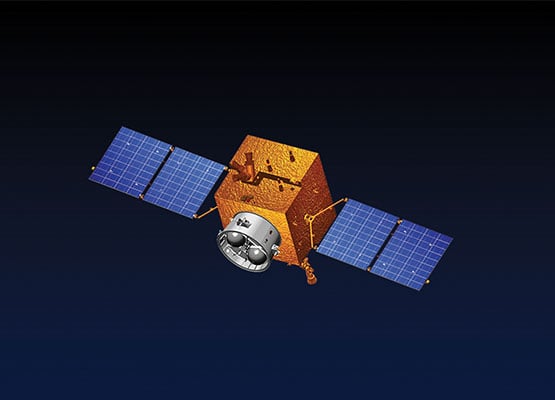
ISLAMABAD – Pakistan’s latest remote sensing satellite is scheduled to be launched on July 31 from China’s Xichang Satellite Launch Center.
According to a spokesperson for SUPARCO, the satellite will assist in crop monitoring, accurate agricultural data collection, and urban planning. It will also help issue early warnings for natural disasters such as floods, earthquakes, and landslides.
The spokesperson added that the satellite will play a key role in tracking glacier melt and deforestation. It will also support monitoring of national development projects, including the China-Pakistan Economic Corridor (CPEC).
This new satellite is expected to be a major milestone in environmental monitoring and natural resource management. Alongside PRSS-1 and EO-1, it will strengthen Pakistan’s remote sensing satellite fleet.
The launch marks a practical step toward achieving SUPARCO’s Vision 2047 and reflects the goals of the national space policy.
Most notably, in January 2025, Pakistan launched its first fully indigenous satellite, Electro-Optical Satellite EO-1, developed entirely by Pakistani engineers and scientists. Designed for agriculture, disaster monitoring, and environmental analysis, EO-1 stood as a bold symbol of Pakistan’s growing technological self-reliance.
Now, with the launch of the latest remote sensing satellite, Pakistan reaffirms its resolve to harness space technology for national progress, sustainable development, and global recognition- a proud moment in our journey from aspiration to achievement.


