Following an incident at London’s Heathrow Airport in which a drone collided with a passenger plane, the regulators are calling for drone operators to be more mindful of the rules governing their flights, but many struggle as the data they need isn’t readily available or relevant to them.
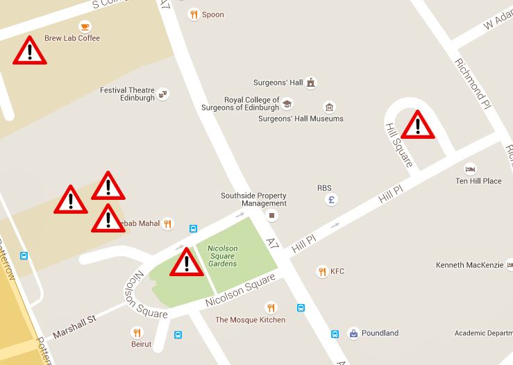
Altitude Angel’s free Drone Safety Map focuses on providing authoritative, relevant data to drone operators using technology people already understand. This is critical to the safety of people and property and can help to minimise the risk of airborne incidents.
“We saw a 500% rise in the number of users on our site in a matter of hours”, says Richard Parker, CEO, “proving that there is a real desire among drone operators to get access to this information and fly with care. The public and commercial drone operators need access to clear, concise and relevant information in order to be able to carry out their drone flights safely and today, that information is still surprisingly difficult to find without our map”.
Parker adds, “while others do provide some of this data, it isn’t frequently refreshed and often not clear what is and isn’t relevant to those flying drones. This makes it much harder to fly safely.”
The Drone Safety Map is already used by thousands of drone operators around the world – despite only being launched a few months ago – and is unique because it also aims to help drone operators interpret the regulations which apply to their flights as well as combining data from a variety of sources into a simple interface.
“We’re on our way to solving the challenges faced by regulators as well as the concerns of the general public regarding the sudden surge in drone use around the world,” says Parker. “Next month, we’ll launch an open, global and automated air traffic control system for drones, together with a secure identity and registration system”.
The company is working closely with regulators and manufacturers on its adoption. To access the free Drone Safety Map, simply visit https://www.


