KARACHI – The “extremely severe cyclonic storm,” known as Biparjoy, that might impact Pakistan this week has prompted an alert in the South Asian nation.
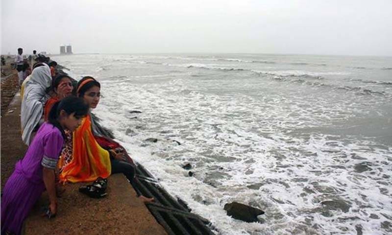
The authorities concerned have begun to take preventative steps, such as prohibiting admission to beaches and removing signboards.
Why is cyclone named ‘Biparjoy’?
Since names are thought to be far simpler to recall than numbers and technical terminology, the practice of naming storms (tropical cyclones) first emerged years ago to aid in the quick identification of storms in warning messages. Many people concur that giving storms names facilitates media coverage of tropical cyclones, sparks public interest in warnings, and improves community preparation.
The use of short, unique given names in written and spoken communications has shown to be speedier and less prone to mistake than the more laborious and antiquated latitude-longitude identification techniques. These benefits are particularly significant when transmitting precise storm data across hundreds of widely dispersed stations, coastal bases, and ships at sea.
Tropical cyclones in South Asia are assigned names by a group called the Panel on Tropical Cyclones (PTC). Thirteen countries made up the panel to name cyclones.
The names to be used will be taken from the list below, starting with Nisarga, then Gati, Nivar, etc.

Terminology describing intensity of cyclone
L — Low-Pressure Area
D — Depression (17-27 knots)
DD — Deep Depression (28-33 knots)
CS — Cyclonic Storm (34-47 knots)
SCS — Severe Cyclonic Storm (48-63 knots)
VSCS — Very Severe Cyclonic Storm (64-89 knots)
ESCS — Extremely Severe Cyclonic Storm (90-119 knots)
SuCS — Super Cyclonic Storm (120 knots)
When will Biparjoy reach Pakistan?
By the afternoon of June 15, Cyclone Biparjoy is forecast to make landfall as a Extremely Severe Cyclonic Storm (ESCS) in the coastal belt of southeast Sindh between the Indian Gujarat and Pakistani Rann of Kutch coastlines, according to authorities on Sunday night.
According to the National Disaster Management Authority (NDMA), the storm might bring about strong gusts, heavy rainfall, and flooding in the province’s coastal regions.
Rains in Karachi
As the cyclone is expected to pass between Keti Bandar and the Indian state of Gujarat, causing waves up to 12 feet high and wind gusts up to 120 kph in the Pakistani seaport.
Tomorrow (Tuesday), there will likely be rain and severe gusts in Karachi, Hyderabad, Thatta, and Mirpurkhas.
Speed of the cyclone and where is it now?
With winds gusting up to 120-200km per hour, similar to a hurricane. As of June 12, the cyclone hovers at a distance of about 600km south of Pakistan’s largest metropolis.
How to prepare for Cyclone Biparjoy?
The NDMA instructed the relevant authorities to launch a local language awareness campaign to warn inhabitants of coastal regions about the weather and discourage them from going to the shorelines.
#NEOC Update:Extremely Severe Cyclonic Storm #BiparjoyCyclone
The prominent models being monitored consistently indicate that BIPARJOY is expected to progress in a northeastward direction. #CycloneBiparjoy
Source: World View NASA, Zoom Earth, Windy pic.twitter.com/1s01548j6w— NDMA PAKISTAN (@ndmapk) June 12, 2023
Boating on the open sea should be avoided by fishermen. In an emergency, heed their instructions and work with them, it continued.


